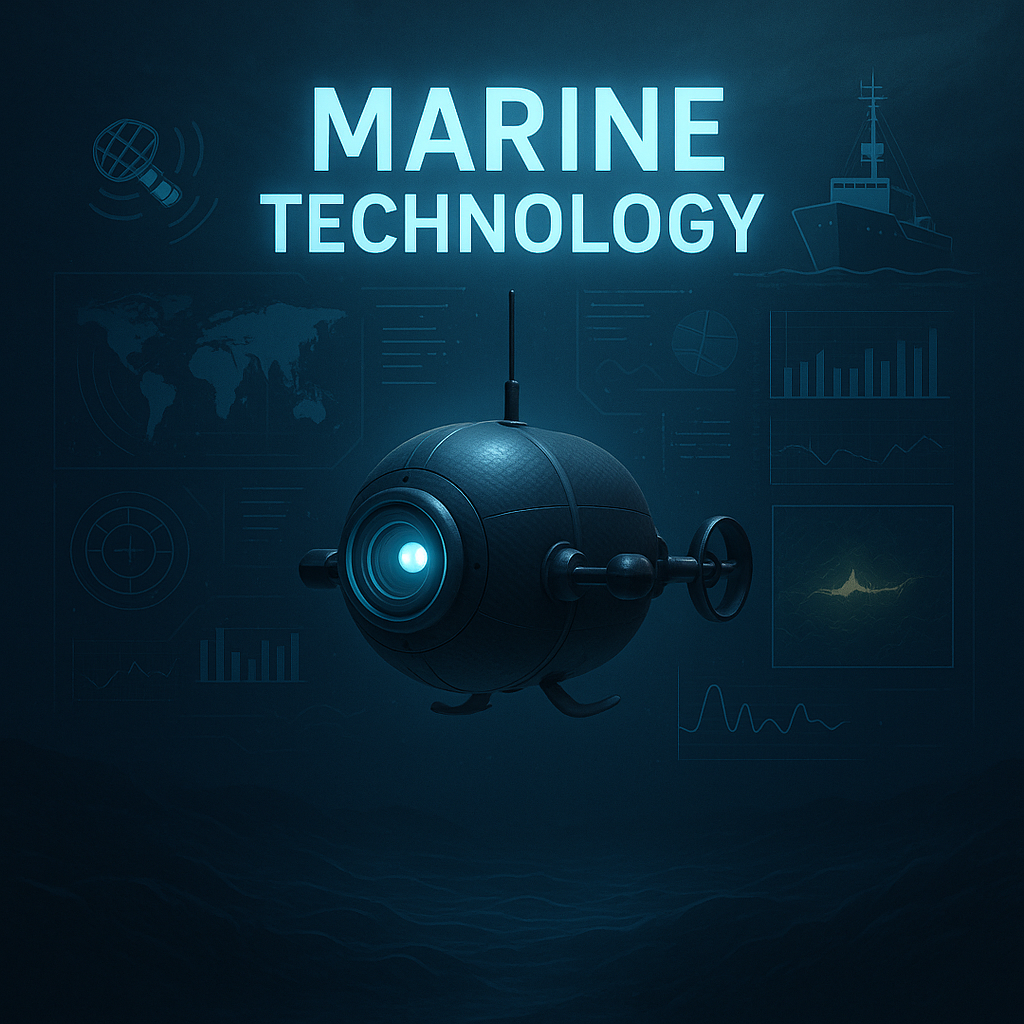
Deep Sea Exploration Technology
Pioneering the future of underwater exploration with advanced drone technology
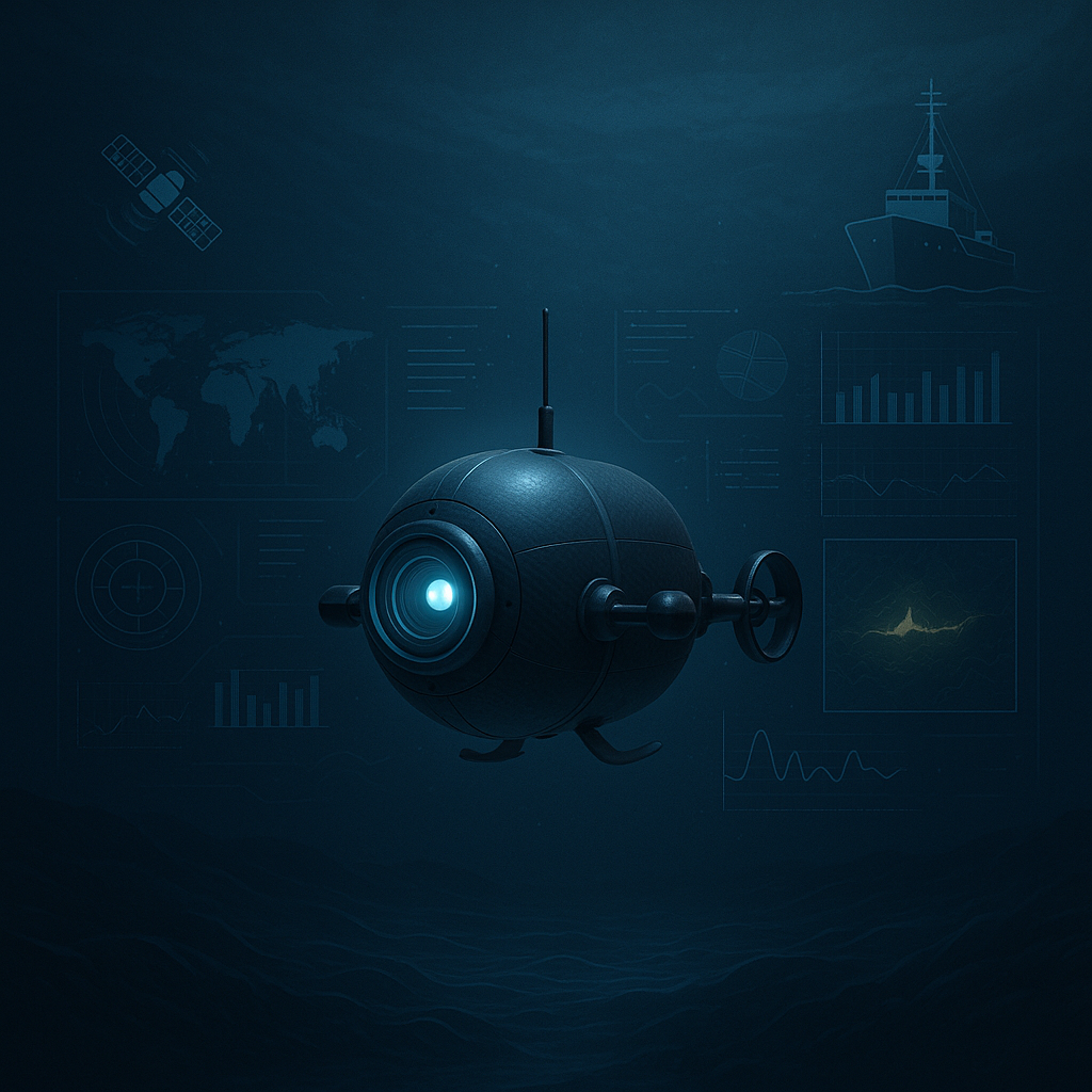
Ultra-Miniature Deep-Sea Drone Development
We are currently developing an ultra-compact underwater drone, measuring just a few centimeters in size, capable of operating at depths of over 2,000 meters.
Core Technologies
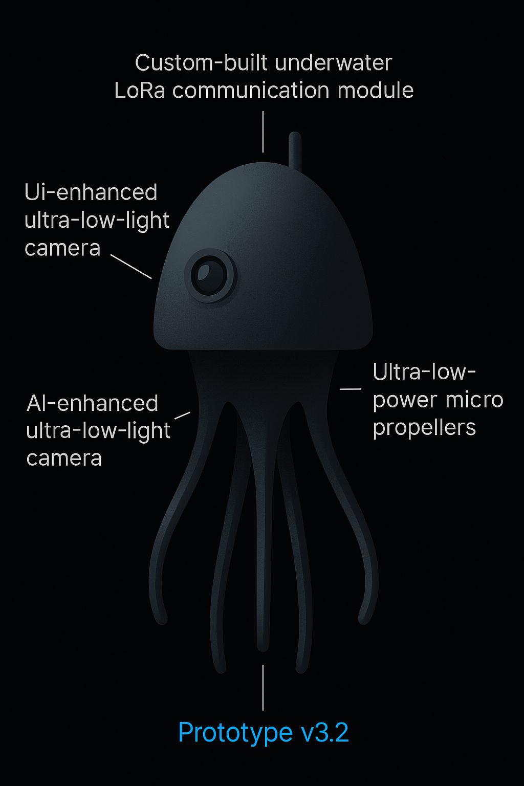
This cutting-edge drone integrates several core technologies, including a high-pressure-resistant carbon fiber body, AI-driven navigation, ultra-low-power micro propellers, and a custom-built underwater LoRa communication module.
Navigation System
Equipped with state-of-the-art MEMS sensors (accelerometer, pressure, and magnetometer), the drone can analyze orientation, depth, and movement in real-time using embedded AI. Our navigation system utilizes deep reinforcement learning, allowing the drone to autonomously explore complex and unknown seabed terrains.
Communication & Power
For visual exploration, we have implemented an AI-enhanced ultra-low-light camera (AI Super Low Light Vision), enabling clear image capture even in pitch-dark deep-sea environments. Communication is established through a combination of acoustic transmission and long-range LoRa technology, optimizing energy use and allowing asynchronous data exchange with surface vessels.
A solid-state battery system powers the drone, providing long operating life and stability under extreme pressure. This innovation enables extended exploration missions in the harshest environments on Earth.
"Treasure Hunt Project" in Southeast Asia's Deep Seas
This project is dedicated to locating historical shipwrecks and undiscovered resources scattered across Southeast Asia's waters, especially in the Strait of Malacca, the Philippine Sea, and the South China Sea.
Historical Value
These regions have long been major maritime trade routes, making them promising grounds for undersea treasure discovery. Many of the shipwrecks date back to colonial and trading eras, and may still hold valuable cargo such as gold coins, porcelain, jewelry, and weapons.
Resource Discovery
Furthermore, recent geological surveys have revealed signs of rare earth deposits and methane hydrate fields. These resources could provide valuable insights into the region's geological history and potential for sustainable resource development.
Ethical Exploration
In partnership with international marine archaeologists, environmental organizations, and local governments, we are conducting ethical, sustainable, and culturally sensitive exploration. Recovered items are intended for academic research and museum exhibitions, and may also be used to support local tourism development.
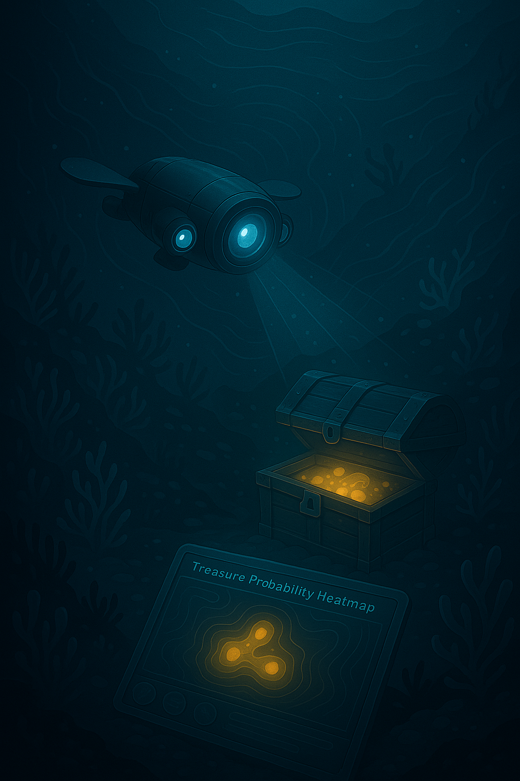
Creating a "Treasure Map" with Data Integration
To maximize the efficiency of our treasure hunt missions, we are developing an AI-powered system that combines satellite remote sensing with underwater drone data to generate a "Treasure Probability Heatmap."
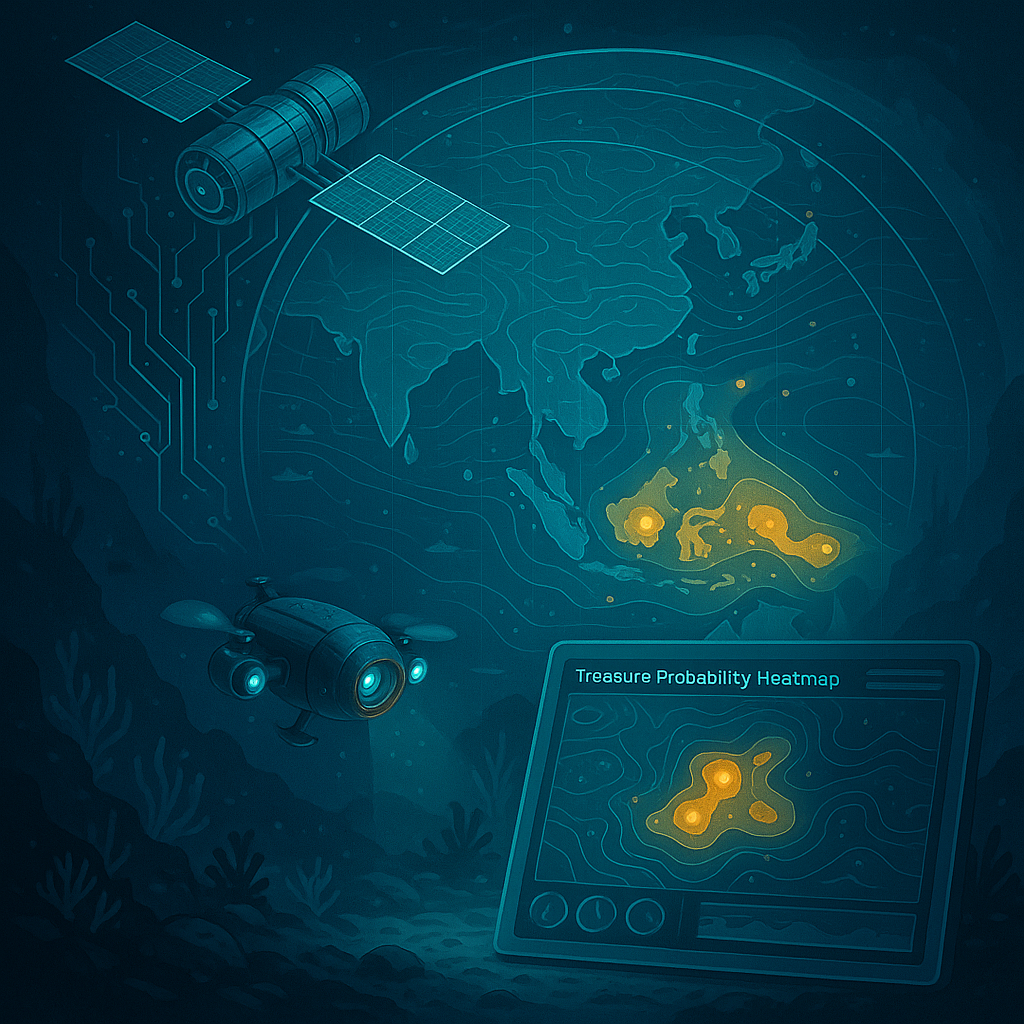
Data Sources
Using imagery and data from Earth observation satellites (e.g., Sentinel, WorldView), we analyze factors such as seafloor shape, currents, temperature, and sediment patterns. These are integrated with real-time 3D sonar scans, geomagnetic readings, and visual data from our drones to build a comprehensive underwater map.
AI Analysis
AI models trained on historical shipwreck data and geological patterns predict high-potential treasure zones. Our cloud-based system utilizes platforms like Google Earth Engine and AWS Geospatial Analytics, enabling instant updates and real-time collaboration across multiple expedition teams.
Interactive Dashboard
A web-based dashboard, Treasure Project Viewer, is currently under development to allow stakeholders and investors to track progress, exploration zones, and discovery probabilities.
Join Our Exploration Journey
Discover investment opportunities in our cutting-edge marine technology and treasure hunting expeditions.